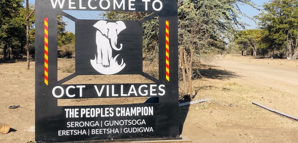
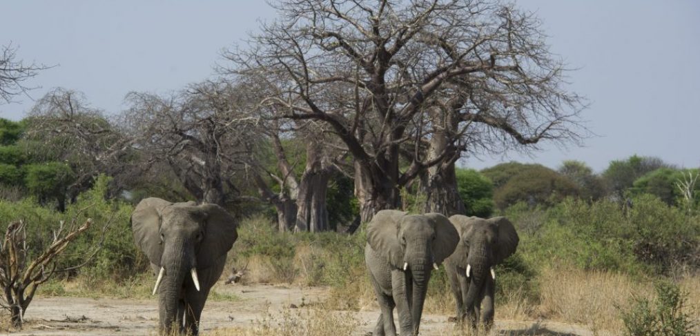
Viewed from space, the world-famous Okavango Delta looks like a large pan attached to a handle – the Okavango River. The ‘pan-handle’ area includes villages along the western and eastern banks of the river – those on the west are located near a tar road that connects Namibia with northern Botswana. Those on the east have a dirt road that connects with the west over one river crossing, which until very recently (a bridge built in 2022) involved crossing the Okavango River using a pontoon.
While a UK bill to ban the import of hunting trophies enjoys popular support there, rural Africans directly affected by such decisions are voicing opposition.
The Conventional on Biological Diversity (CBD) NGO Parallel Forum in Kunming was held September 27 – 28. This was a unique opportunity for NGOs
Resource Africa (RA) recently launched a policy position paper entitled Indigenous Flora and Fauna, African Resources for African People, wherein we argued for the inclusion of the sustainable use of wildlife into the UN Convention of Biological Diversity’s (CBD) Nagoya Protocol.
The Post 2020 Global Biodiversity Framework (GBF) has just been released for comment. By acting now, African countries can work together to ensure that the GBF explicitly includes the sustainable use
Imagine an approach to wildlife conservation that allows wildlife populations to flourish, respects the rights of local and indigenous peoples to determine their own future, and helps reduce poverty and inequality.


